South Ethiopia
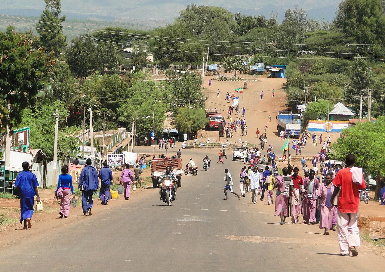
South Ethiopia is a regional state of Ethiopia, covering 48,293 km² — 4.3% of the national territory, 6th of the 12 regional states by area. Its administrative centre is Sodo. It comprises 12 zones and 93 woredas (districts). It contains 3 UNESCO World Heritage sites.
South Ethiopia, established in 2023, runs from the Rift Valley lakes of Abaya and Chamo down the Lower Omo valley. It carries two World Heritage inscriptions: the terraced Konso Cultural Landscape and the Lower Valley of the Omo, whose fossil beds document several million years of human evolution.
Sources: UNESCO — Konso · UNESCO — Lower Omo
Where South Ethiopia sits in Ethiopia
The 2022 population projections predate this region's formation; no figure is shown rather than an estimate.
World Heritage
Zones
View South Ethiopia on the map →
Every figure on this page is computed from the OCHA COD-AB Ethiopia dataset (April 2026 release, CC BY 3.0 IGO). Richer geographic and historical profiles, with cited sources, arrive in Phase 2.